


One of 86 Laverda Jota motorcycles

One of 86 Laverda Jota motorcycles attending a rally in the Cotswolds.
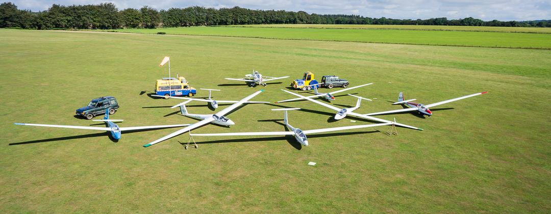
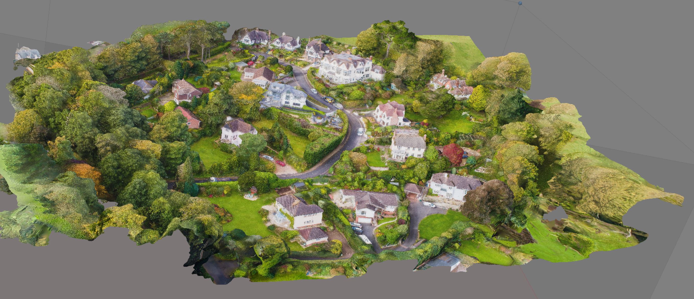
412 Acres of land Successfully mapped using a drone and Multi-band RTK GNSS Receiver

fast turnaround. Using ground points with our new Reach RTK receiver with Real Time Corrections from a network giving Centimetre Precision.
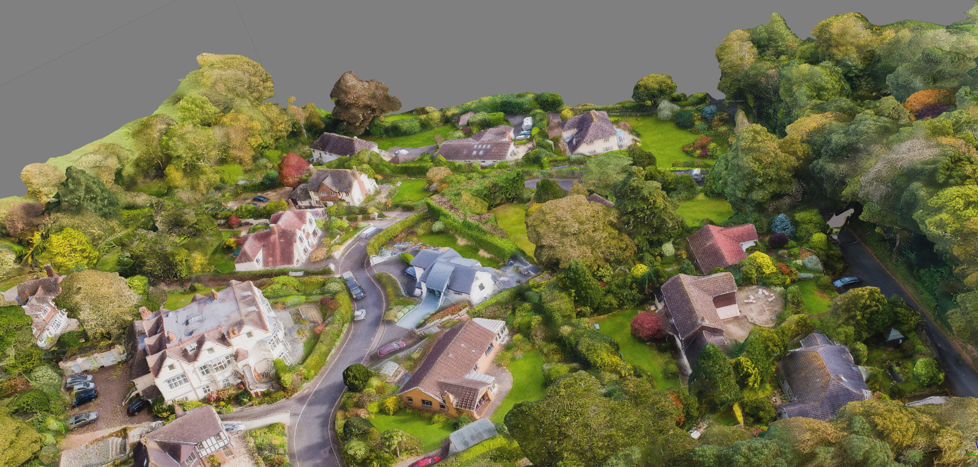
Ground elevation model
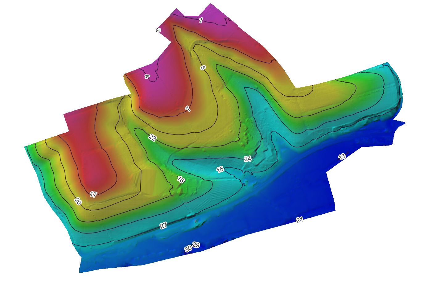
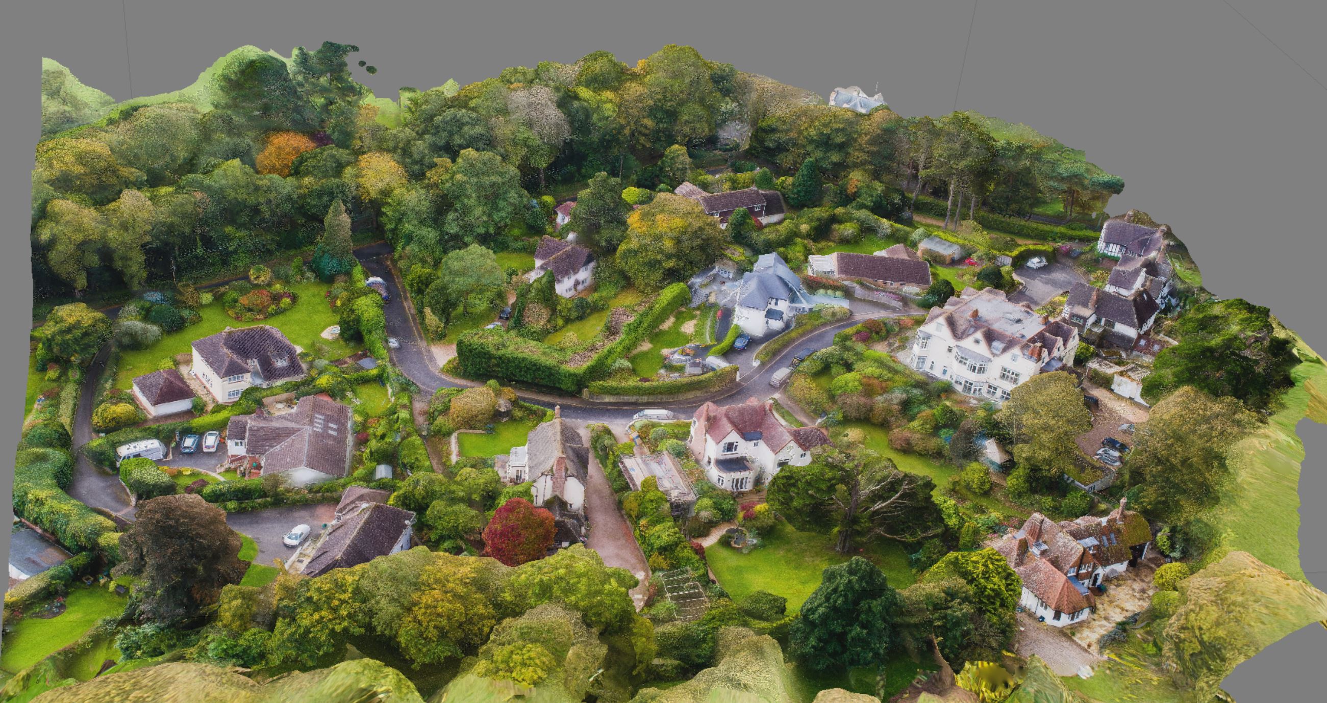
This model was created from 1800 images to create a CM precision model.
Sea Bed mapping at low tide
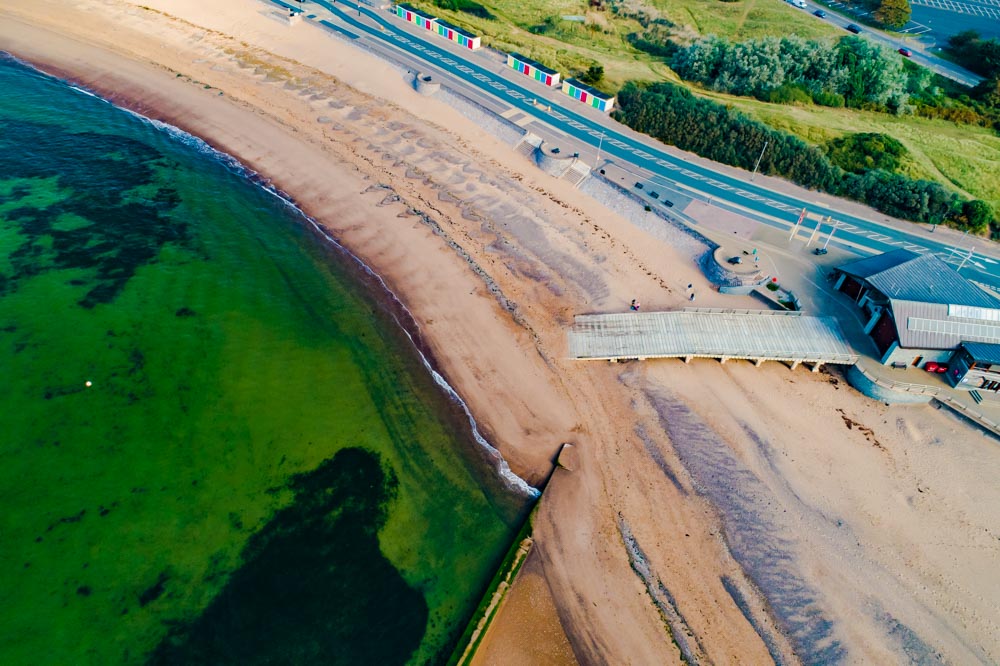
Using filters to look for the mussel beds
Location of the Mussle beds in Exmouth
Using a polarising lens to find the location of Mussel beds in Exmouth
In house multi photograph stitching is included in our quotes
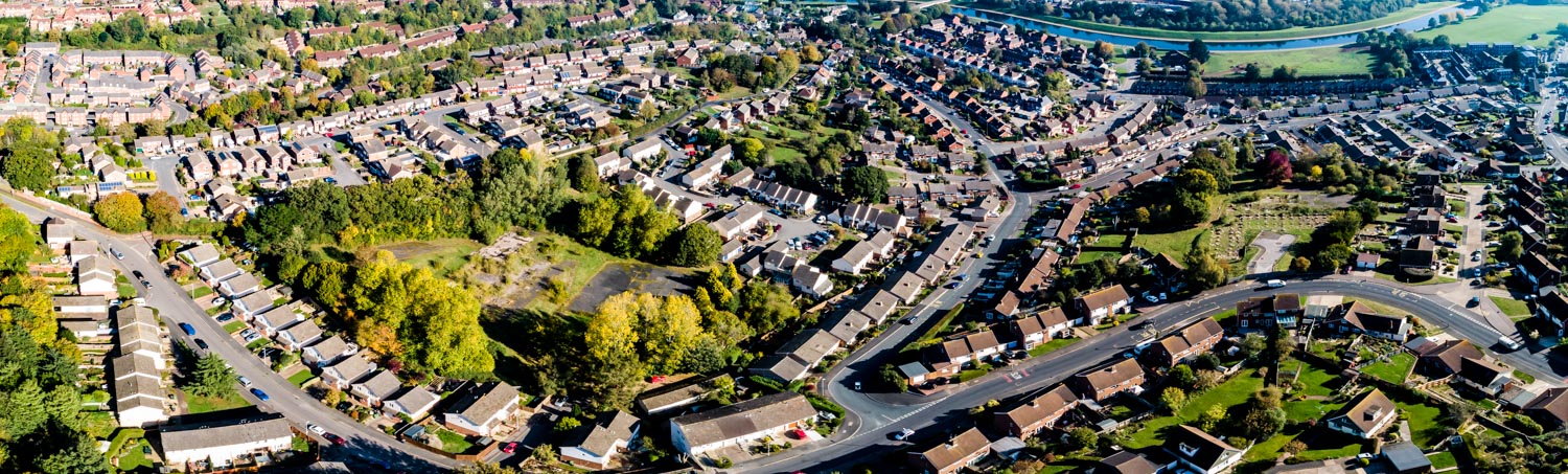
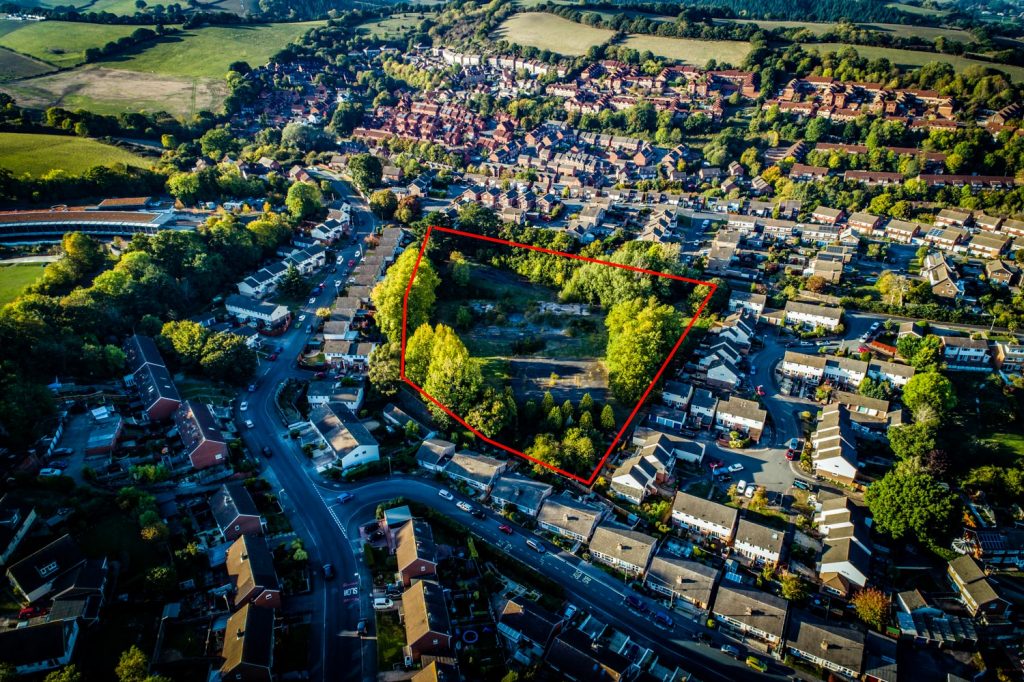
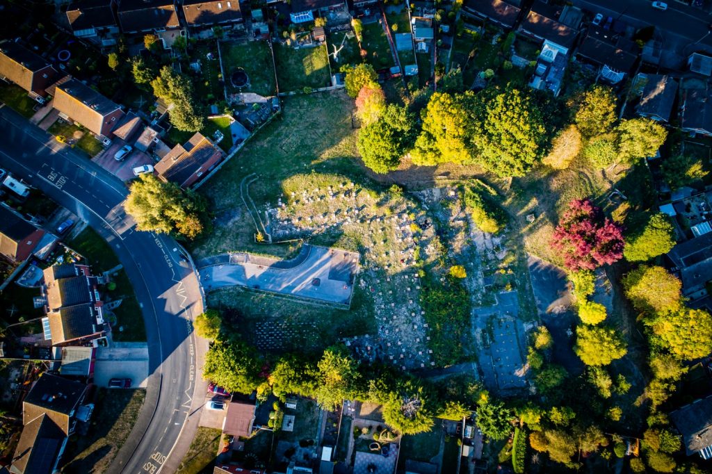
Exeter City Council aerial photographs for the next phase of this development
Multiple angle coverage for a complete coverage of your site
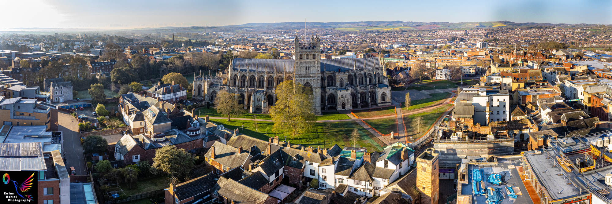
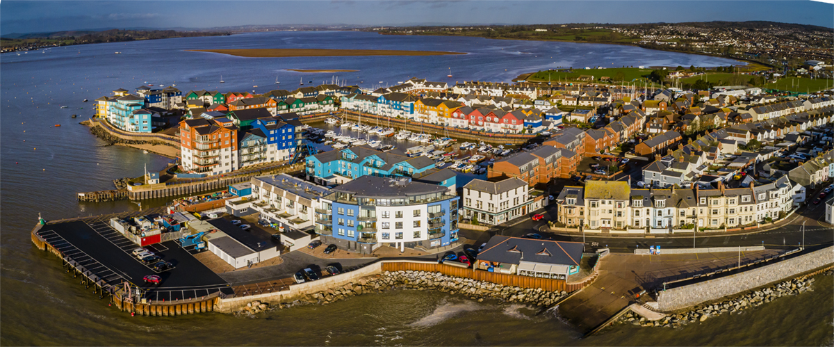
This 3 image stitched panorama gives a high quality image of 8000 pixels wide
A total of 25 images merged to create this high resolution image.
This has had all of the cars and signs edited out
This is the original panorama shot with all of the signs and cars.
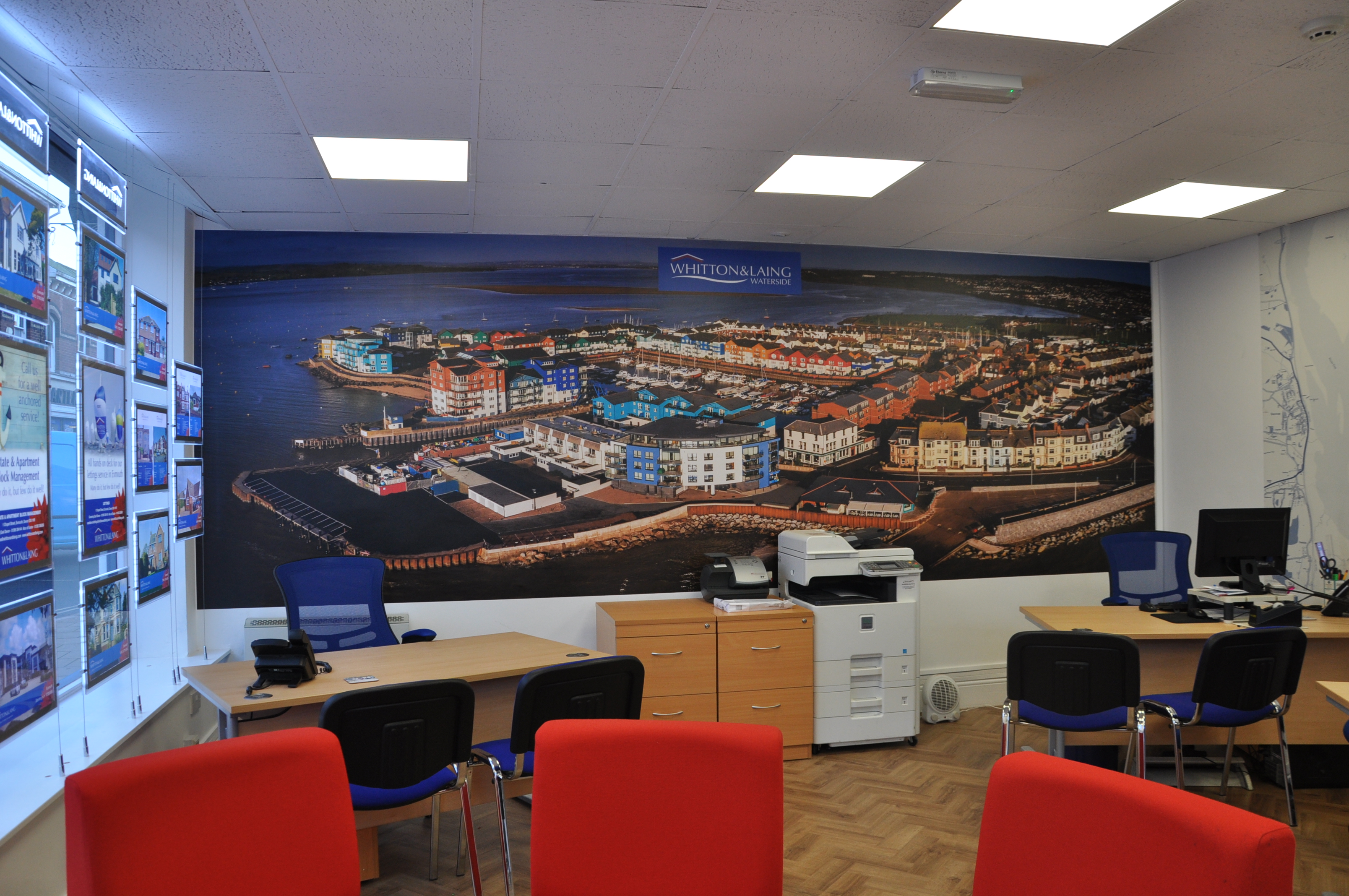
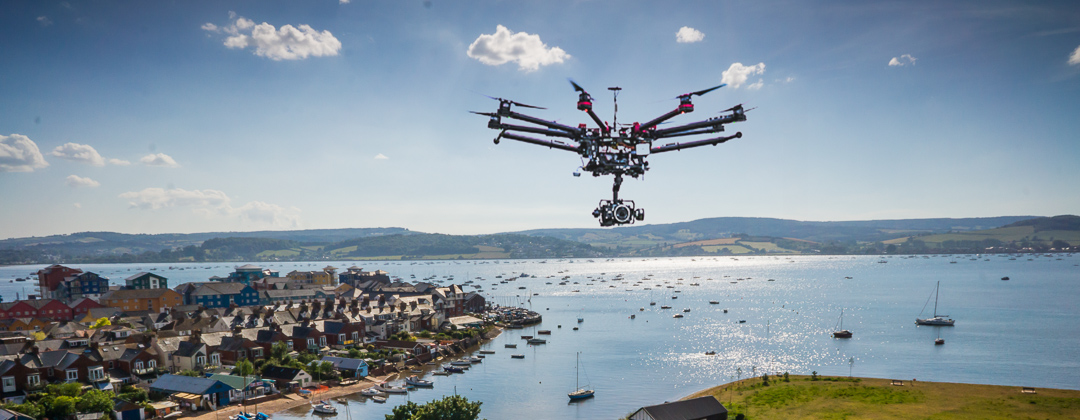
Whitton and Laing office at exmouth with a massive 5m image covering their wall
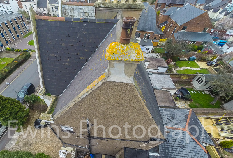
Storm damage a fast turn around is critical to prevent further damage from water ingress.
Fast turn around is critical with insurance claims.
Six hours turn around. The client had the photographs from storm damage on his desk in less than 6 hours.
Insurance claims require a fast response

Berry Pomroy Castle
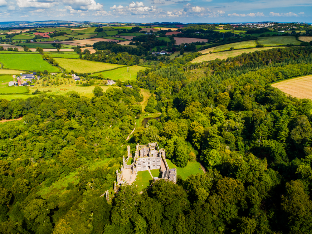
Berry Pomroy Castle in Devon
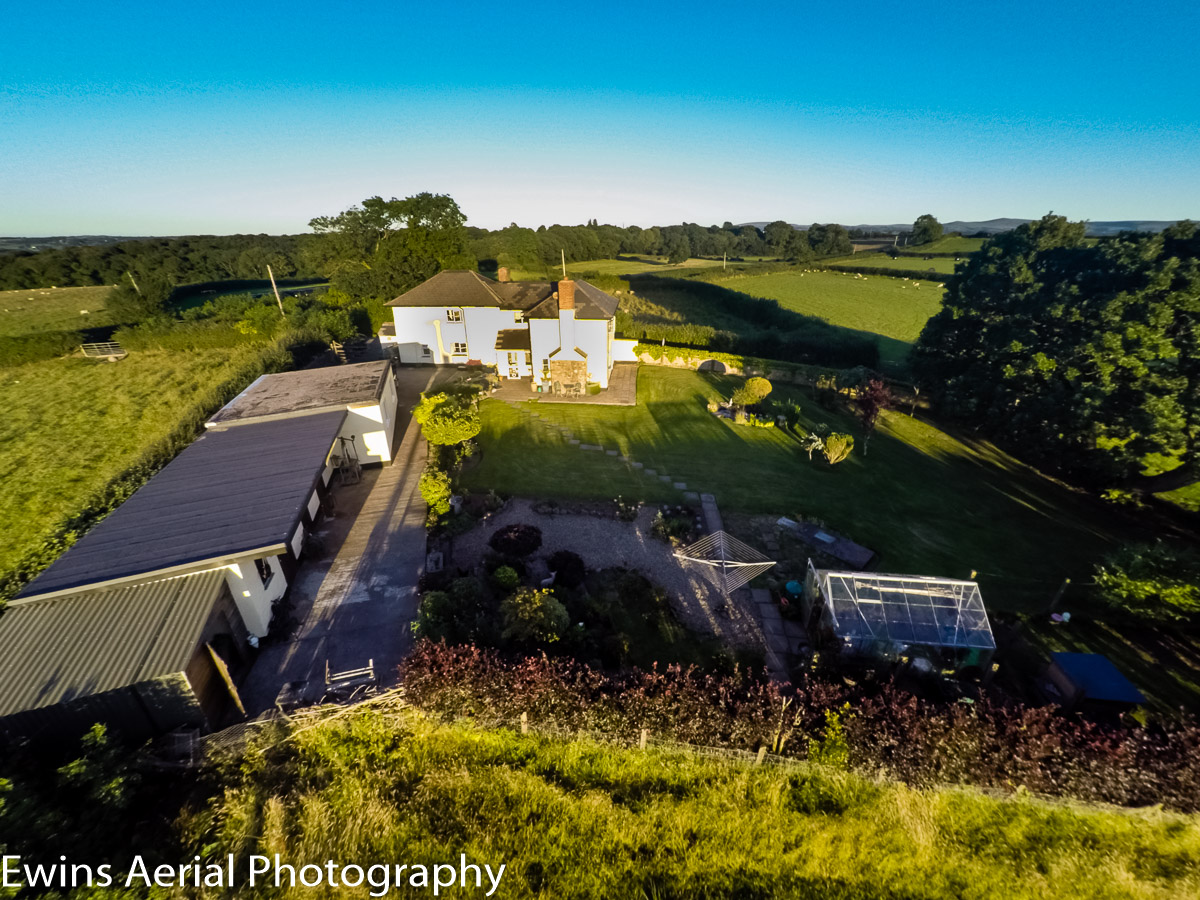
Maximise you viewings for property sales
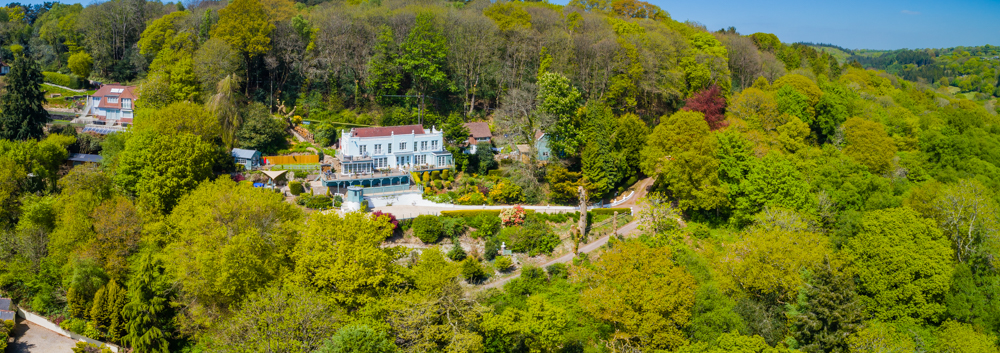
part of a portfolio for an estate agent
High Dynamic Range: 21 photographs combined for this image

All of these images were delivered to the estate agent in less than 24 hours
Internal Photography and panorama stitching
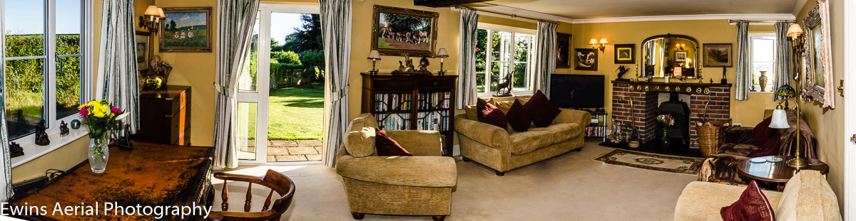
Internal Photography and panorama stitching

Movie Location: Picture courtesy of Mike Alsford
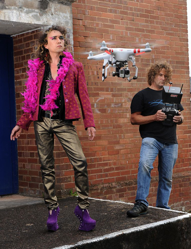
Filming On An Indoor Video Set
The UAV was used instead of a crane for this shot
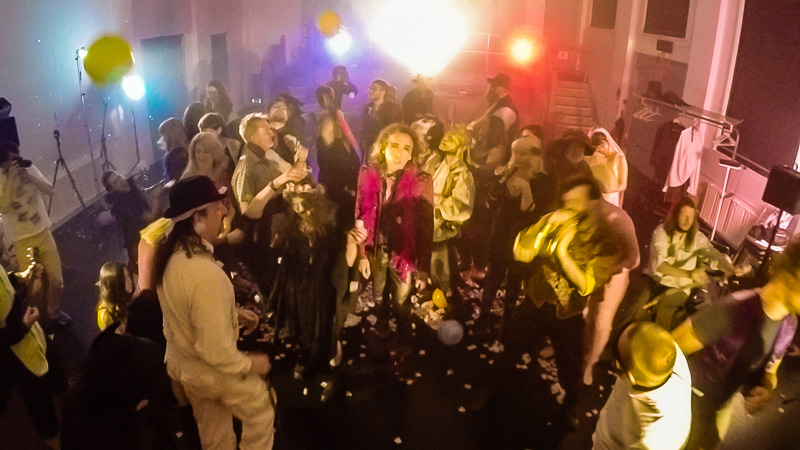
Filming On Location for an Upcoming Movie “Hells Bells”
Filmed in 4K on Location In Devon
Screen Capture from UAV on Location
Killerton House Devon for the national Trust
A survey of the trees for controlled felling for the National Trust
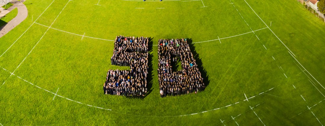
Sidmouth College celebrating 50 years
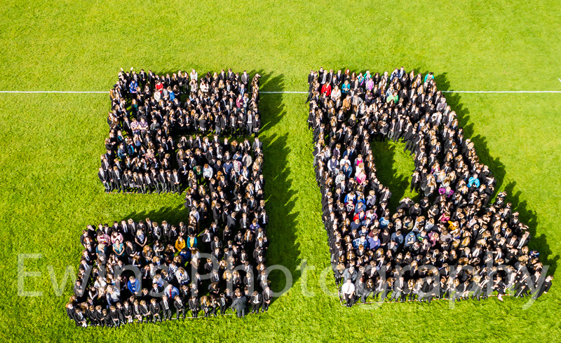
Sidmouth College 50 Years
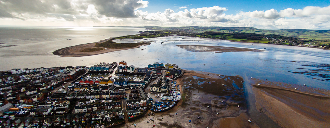
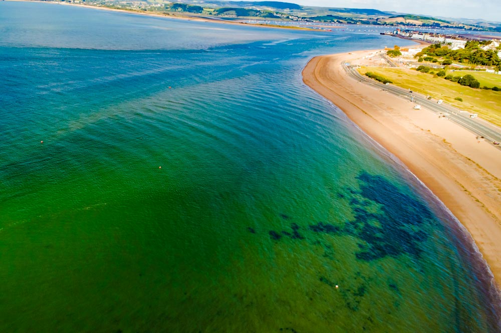
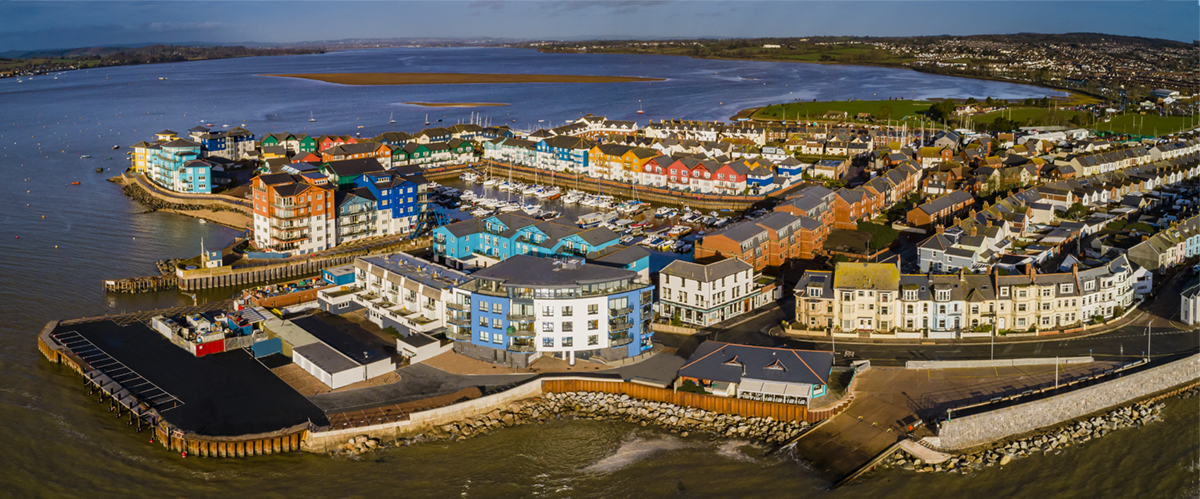
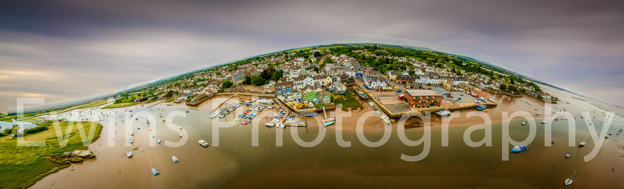
Topsham Devon Panorama
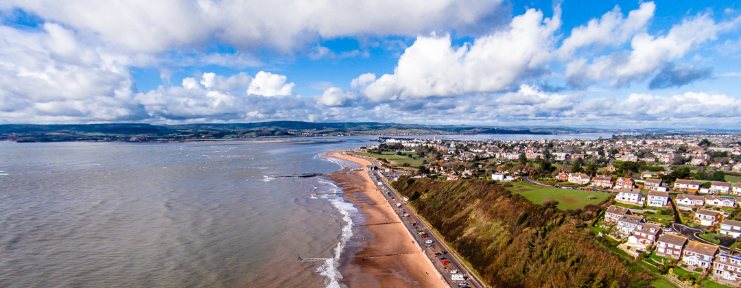
River Exe in Devon looking towards Exmouth and Topsham: The finished project was a wall canvas
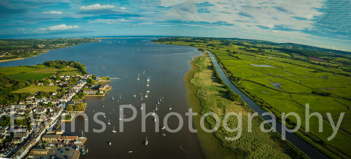
View from above the river Exe devon looking south towards Exmouth
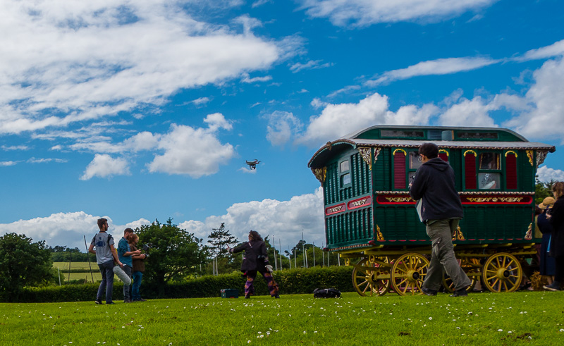
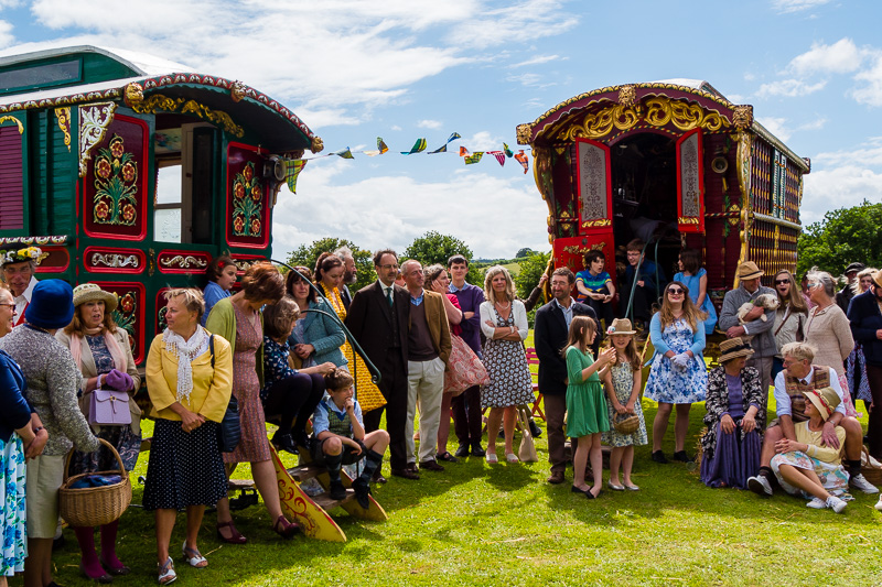
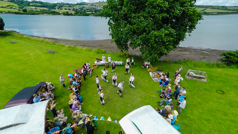
Wedding Photography for that unique view
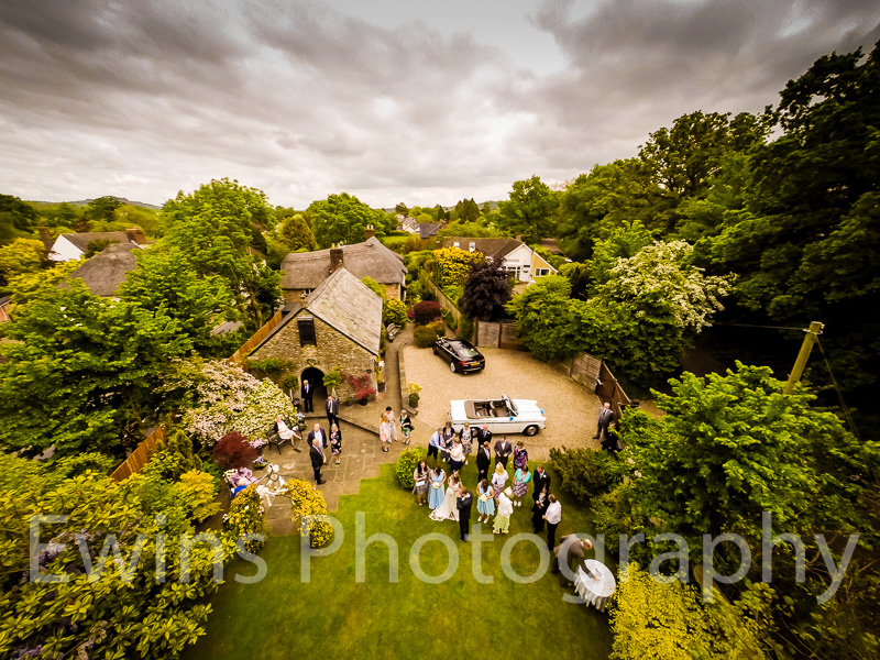
We have now started to incorperate Aerial Photography into Ewins Photography Wedding Photgraphy.
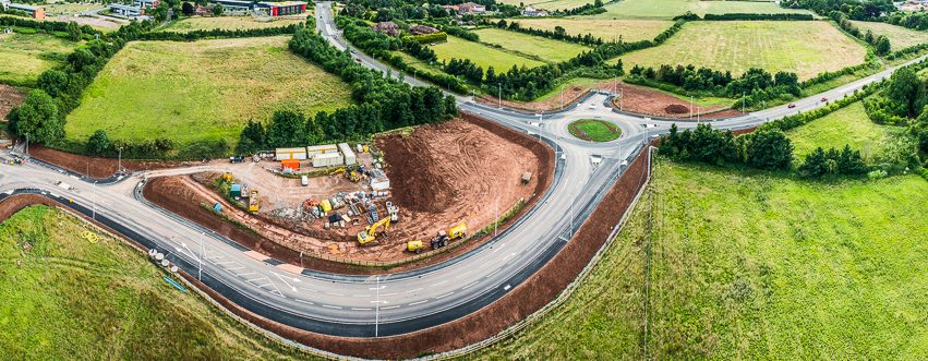
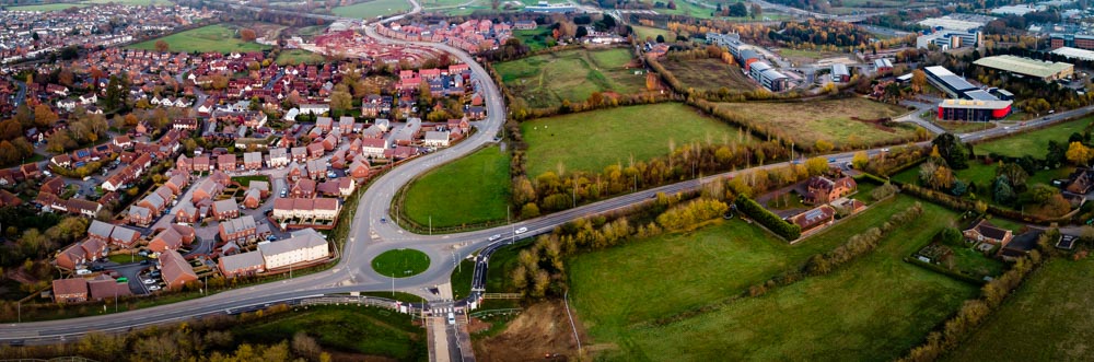
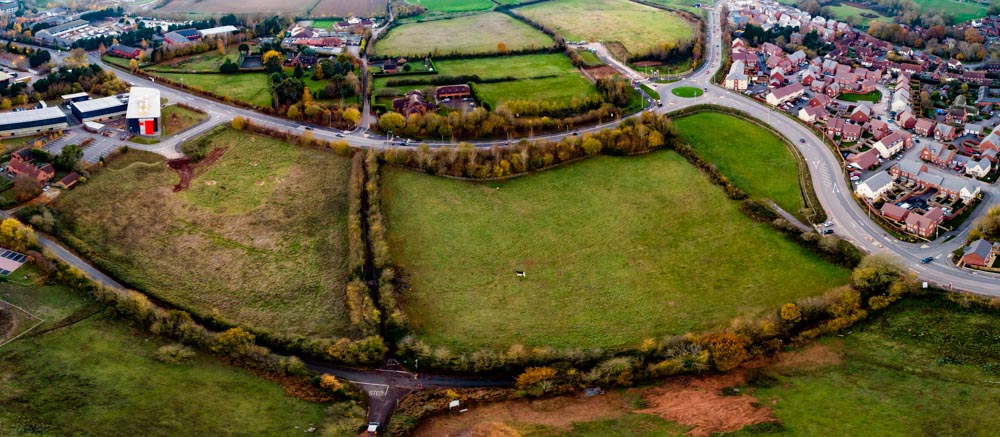
Construction of the New Exeter Link Road
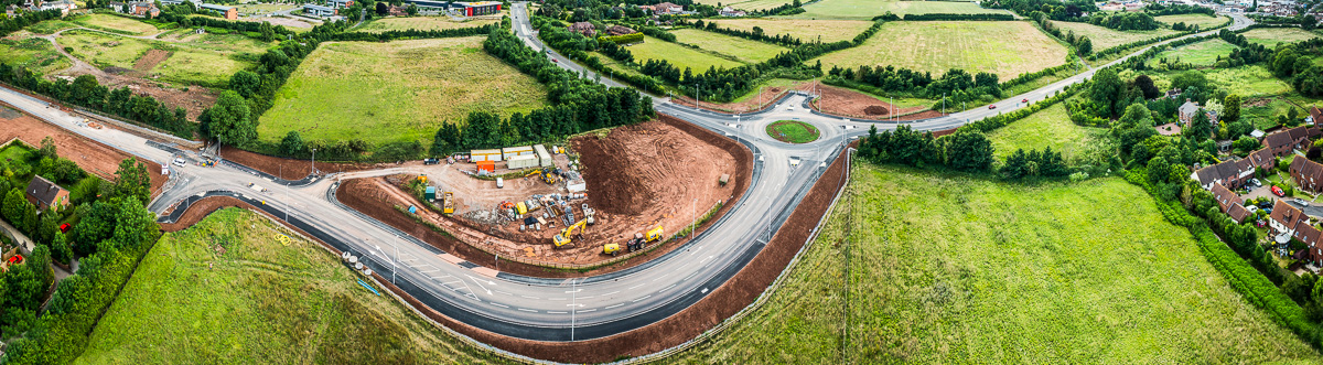
The New Exeter Link road under construction
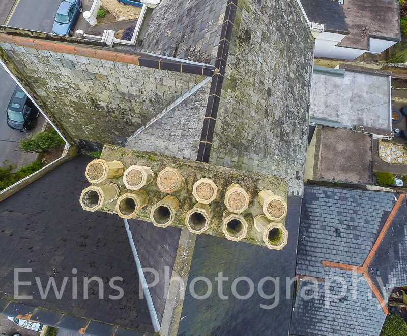
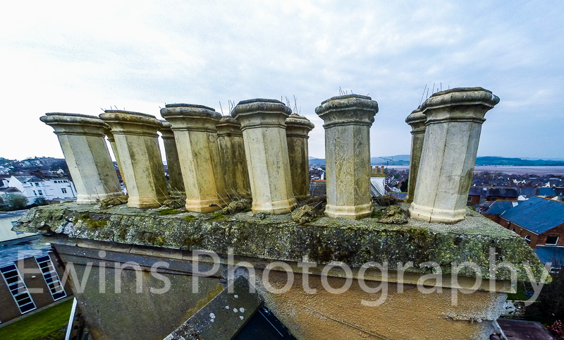
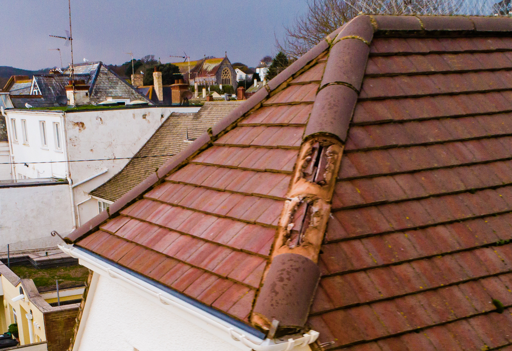
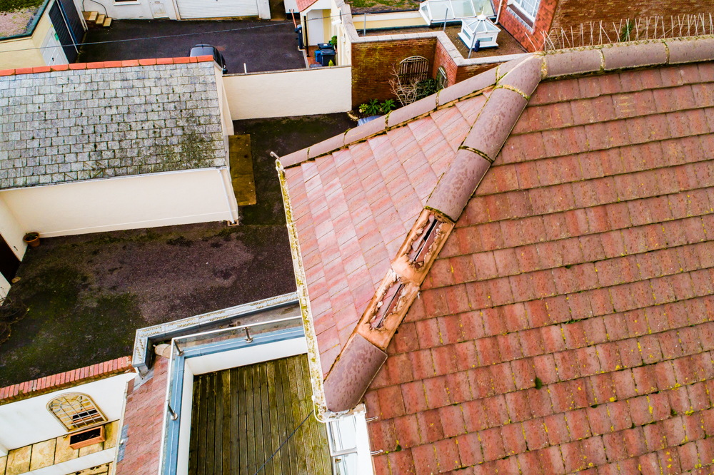
Chimney Inspection