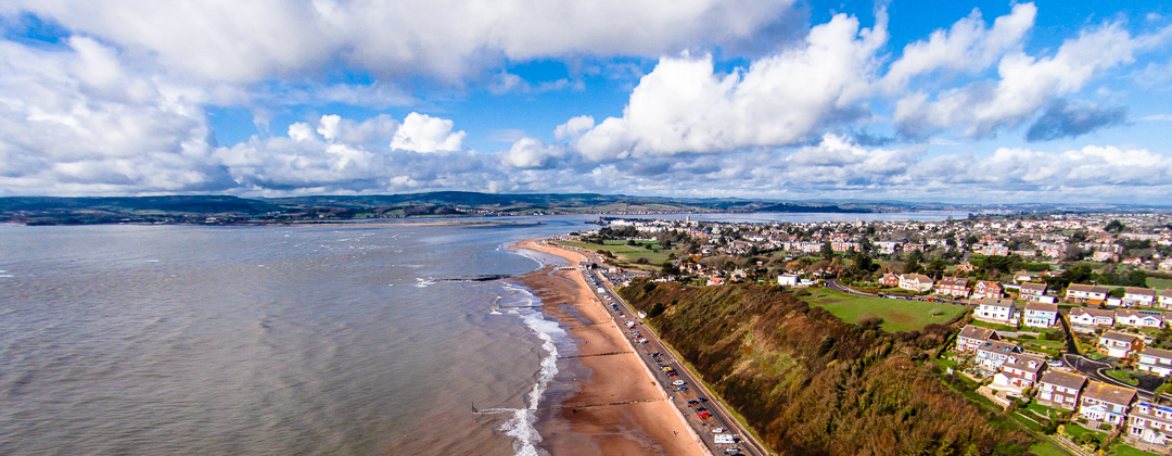
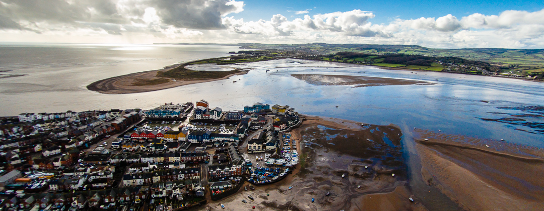
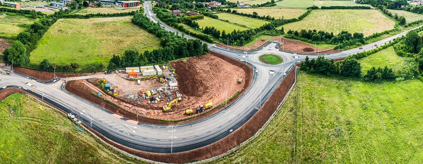


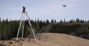
Stage One: Data Capture
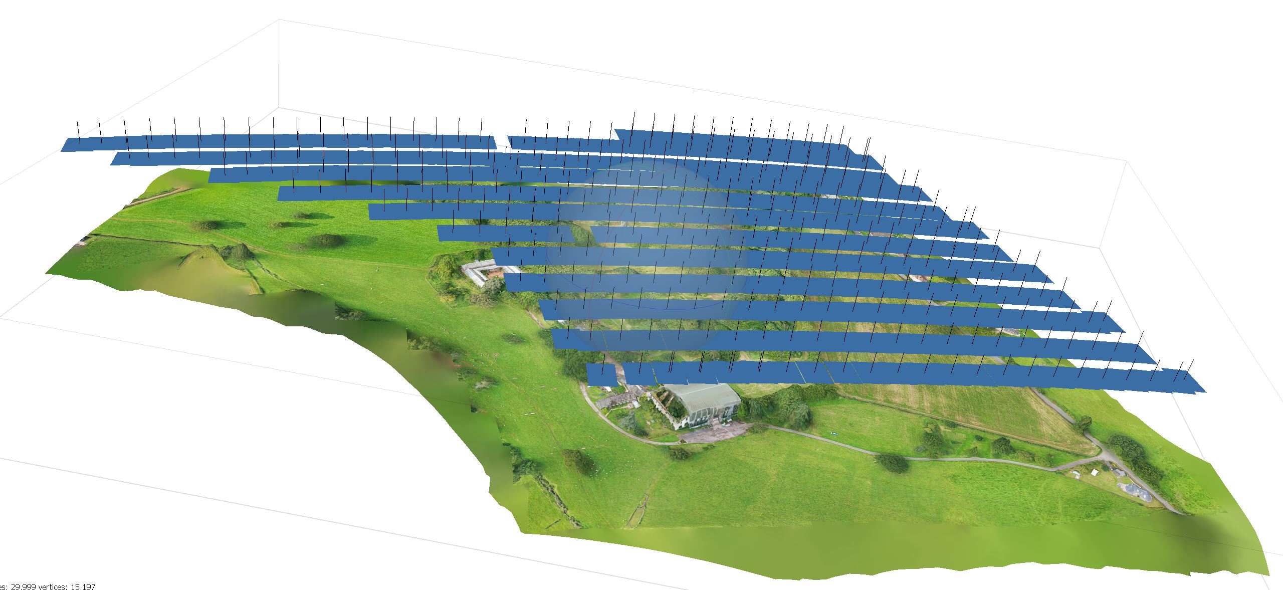
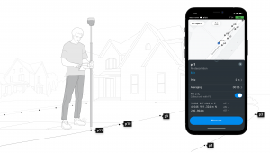
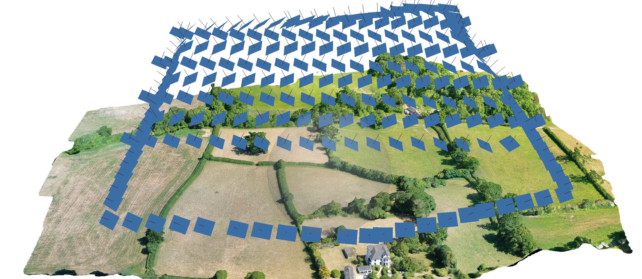
The camera positions are pre loaded to the drone. The map is also on terrain follow to improve accuracy and position.
The data capture is in the form of a pre-planned map that is uploaded to the drone for autonomous flight. This gives accurate capture results and the ability for consistent repeatability. This also reduces the time in the air with no disruption to the ground operations.
Stage 2: Post Processing and Model Building

High accuracy with no down time
Using dedicated photogrammetry software to collate the photographs and ground control points to produce an accurate 3D model. There is a huge range of outputs possible dependant on the clients specific needs to suit their in-house software. All of the post production is done in house along with a detailed report of the accuracy parameters and pixel resolution for accurate planning.
Stage 3: Final Model Accuracy
Part of the survey final report.
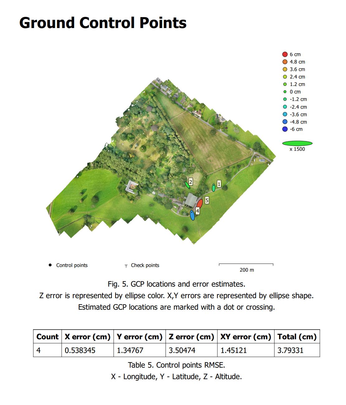
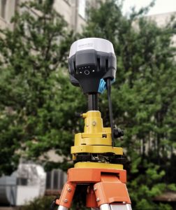
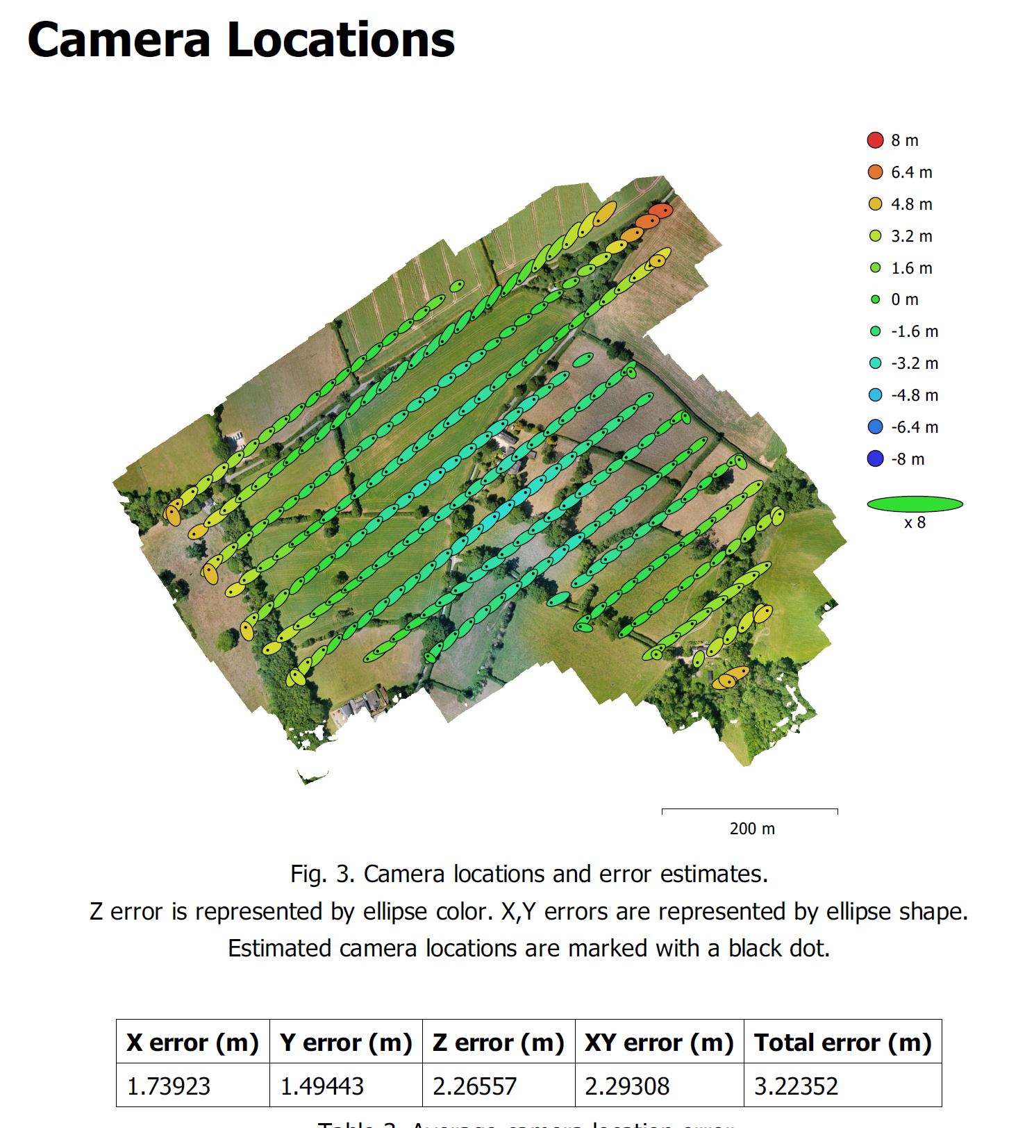
All models produced are collated with the ground control points marked out with our GNSS/RTK Emlid Reach. The reach gives an accuracy of 1-2 cm for ground control point marking. You can download an accuracy report from a recent survey here
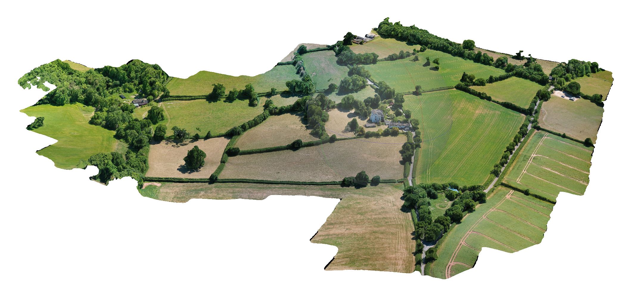
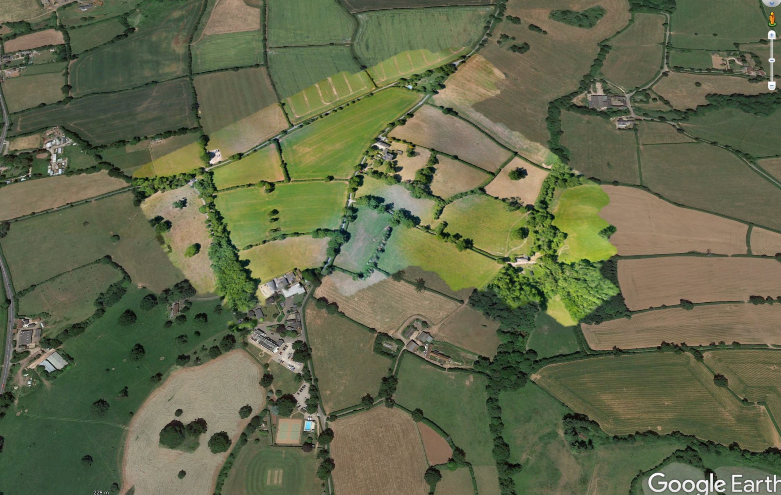
422 Acre Orthomosaic model
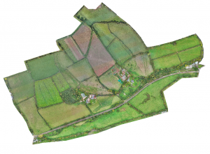
A total of 1800 images were used to create this Digital Terrain Model
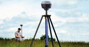
GNSS/RTK precision ground control points
Photogrammetry is useful if it is accurately positioned. The use of the latest equipment ensures that precision
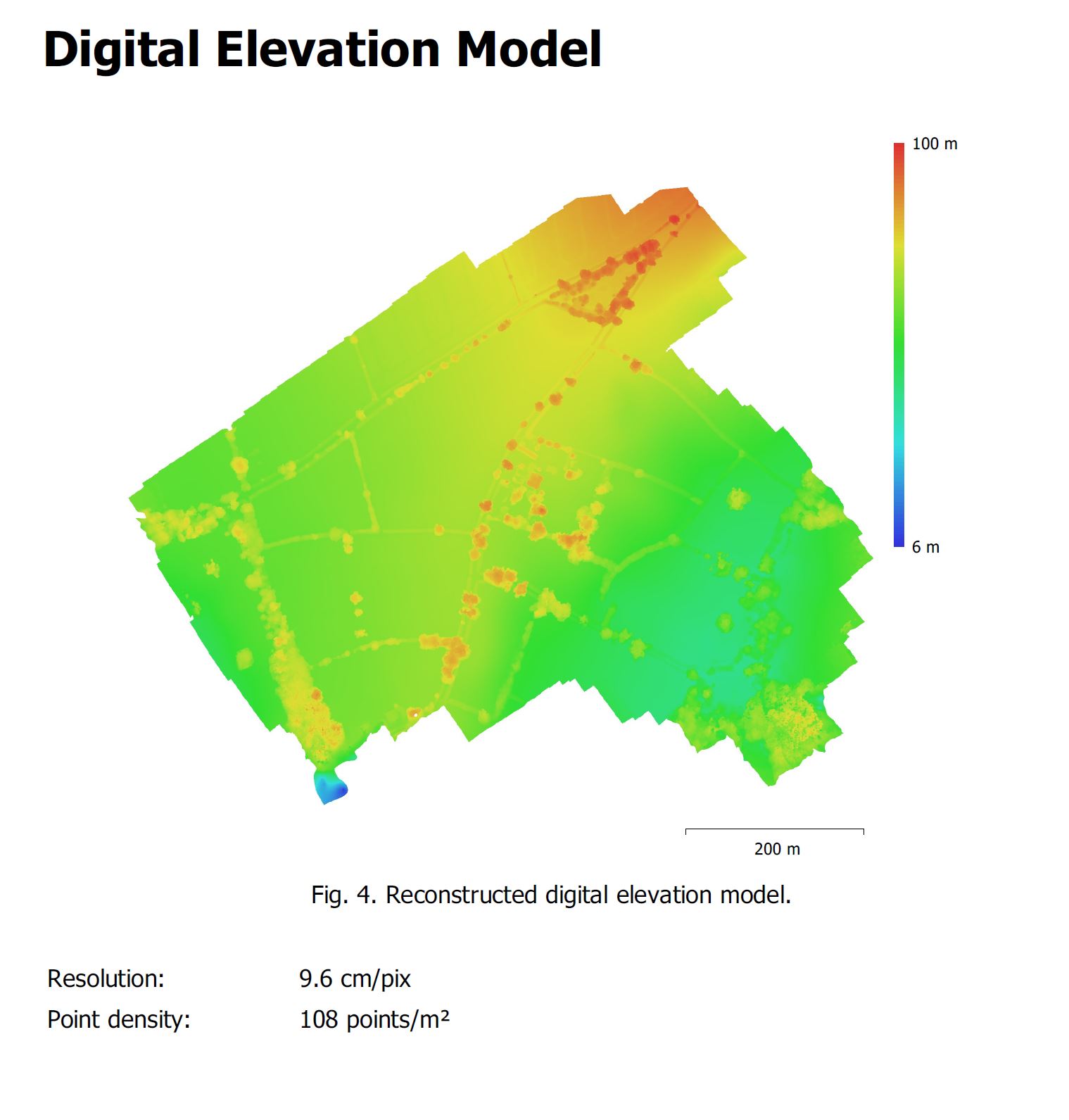
Accurate Digital Elevation Model
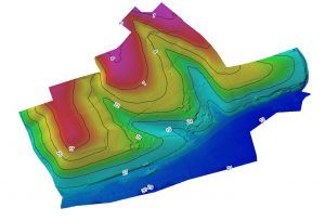
DEM models are essential for asset management and planning.
Accurate Digital Elevation Models

Accurate mapping of a field and DEM model.
DEM overlaid onto Google Maps

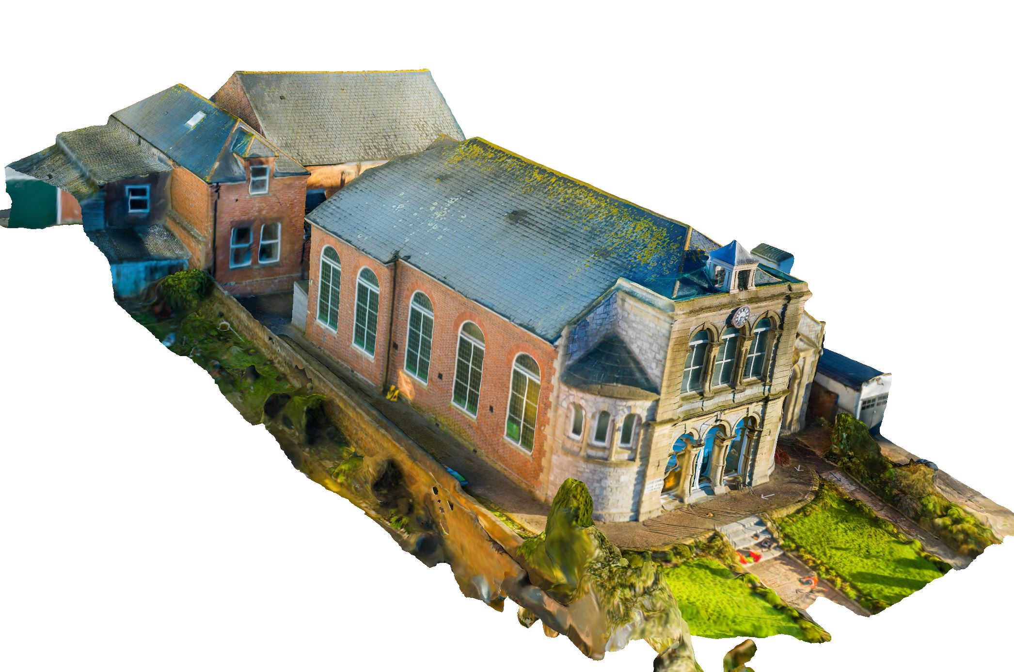
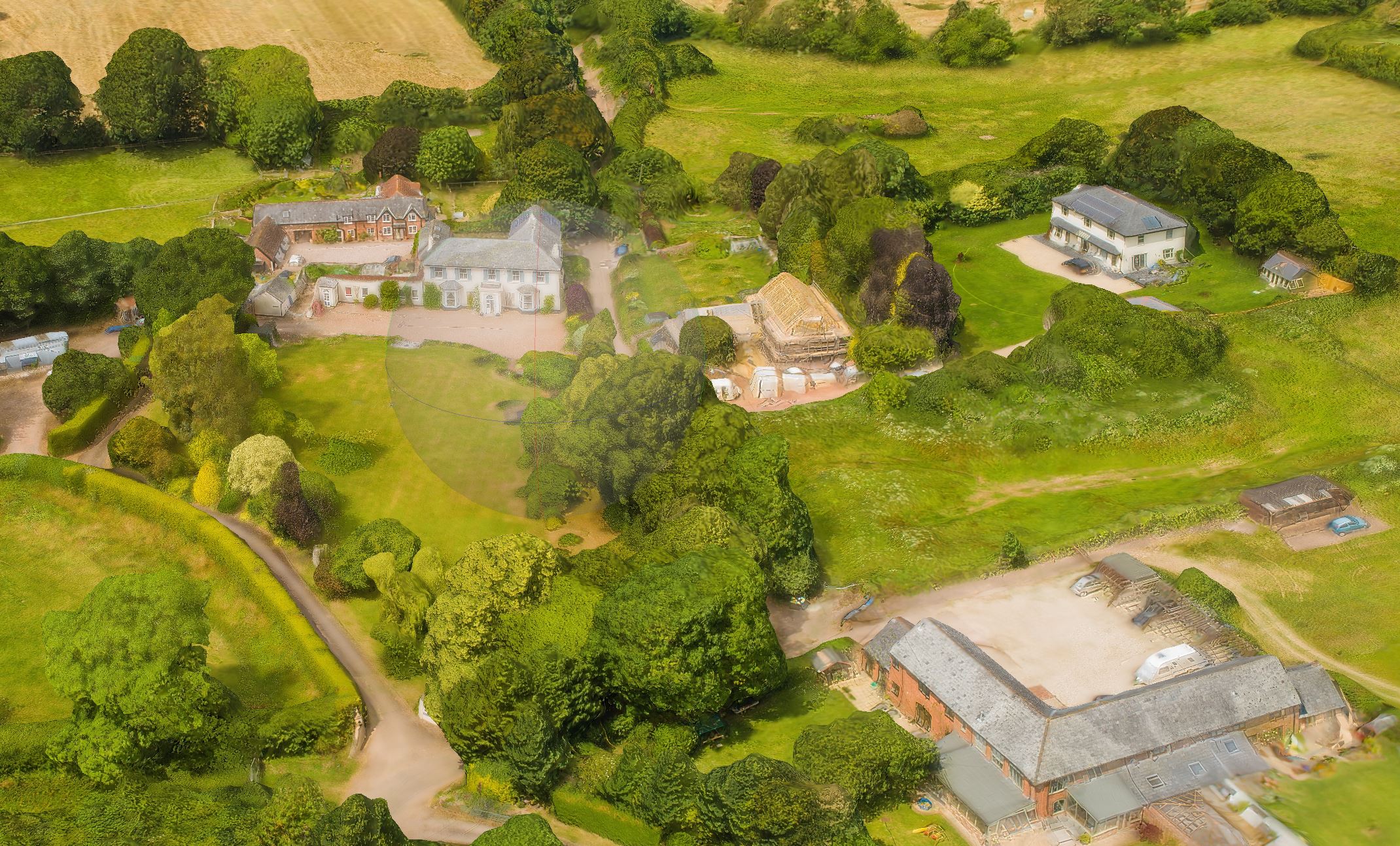
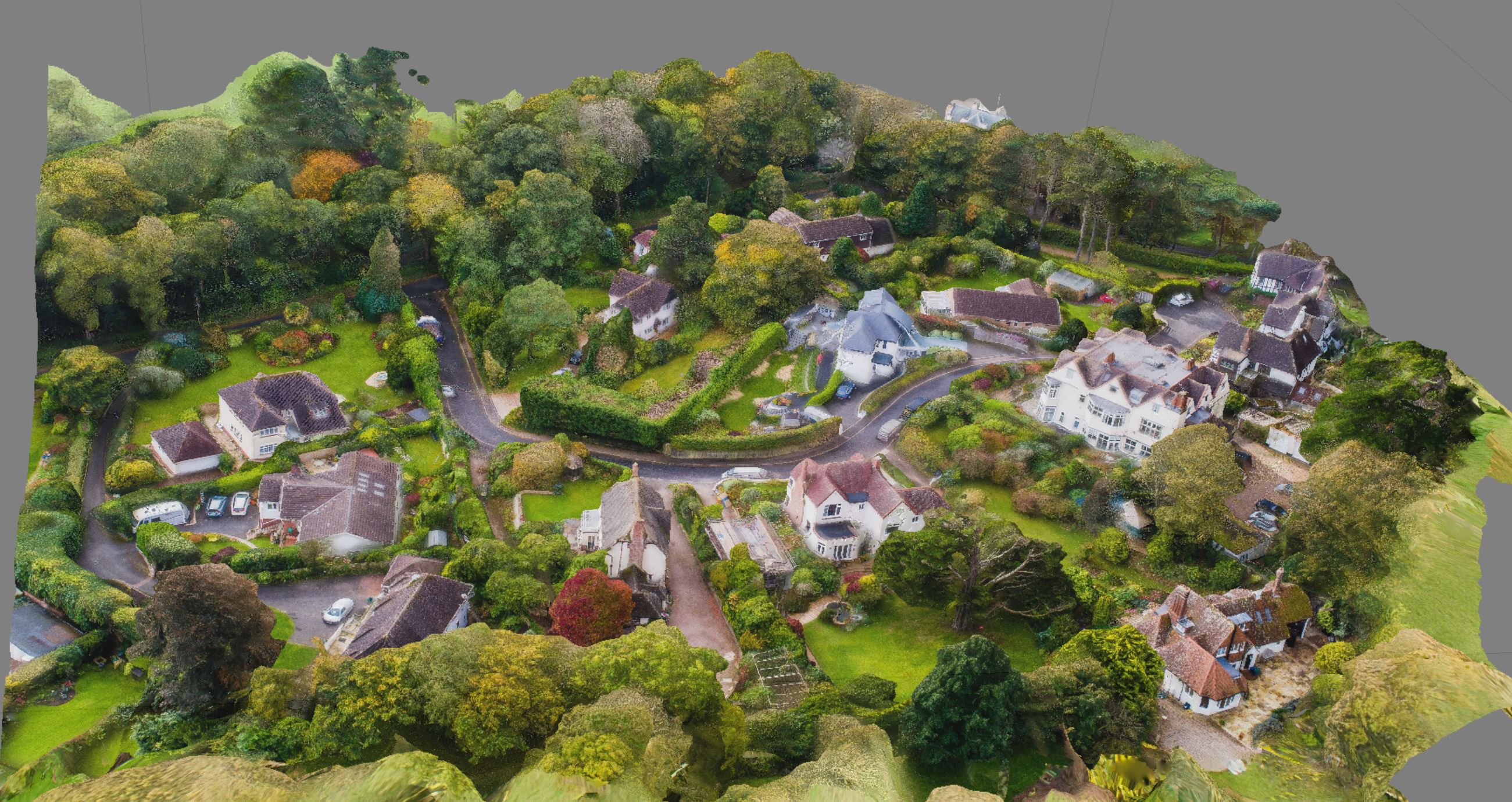
HIgh Quality Photogrammetry Model
Model showing camera positions from pre loaded map into the drone.

Full 3D model for intergration into CAD

Full 3D model for intergration into CAD
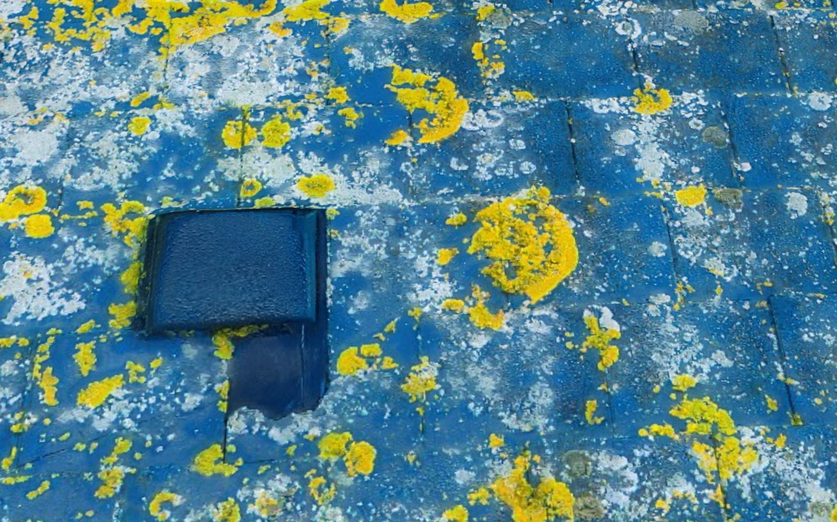
Early identification of the leak prevented expensive renovations
Photogrammetry Model
Model showing camera positions from pre loaded map into the drone.

Model showing camera positions from pre loaded map into the drone.
Full 3D model for intergration into CAD

Full 3D model for intergration into CAD
Digital elevation model to go with the 3D model
Intergration into Google Earth
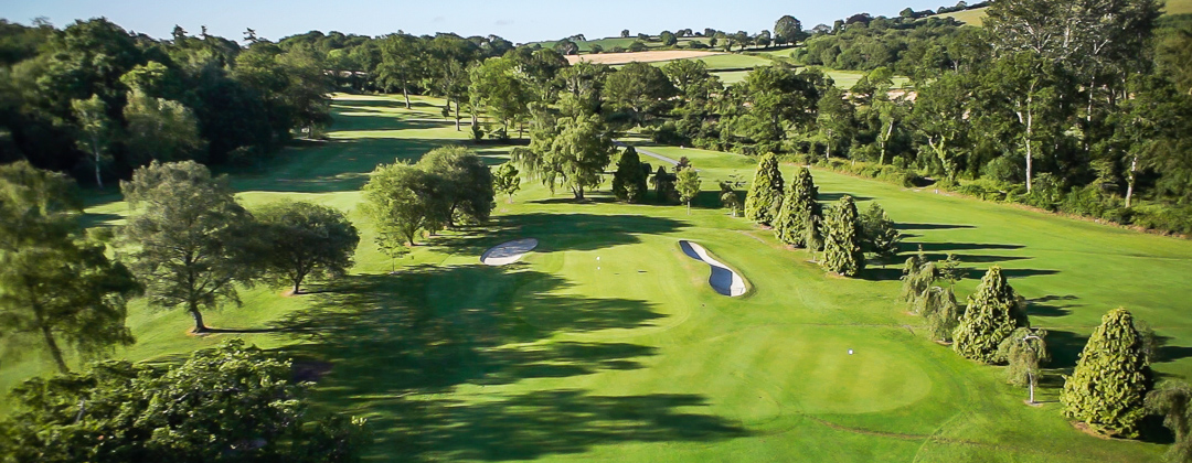
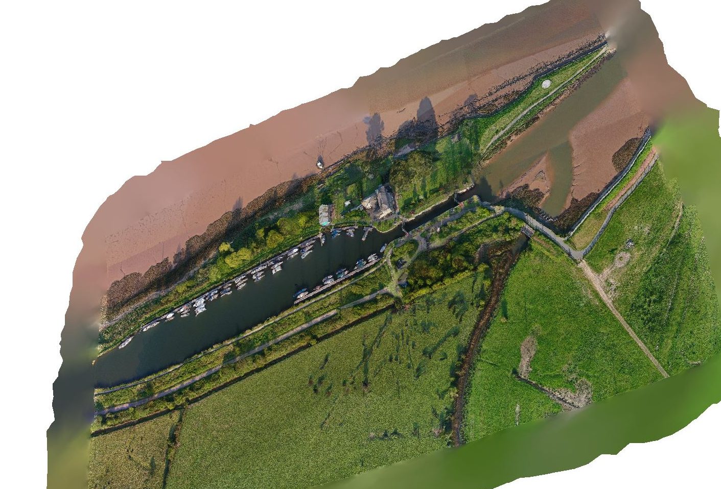
Essential Canal Basin Planning
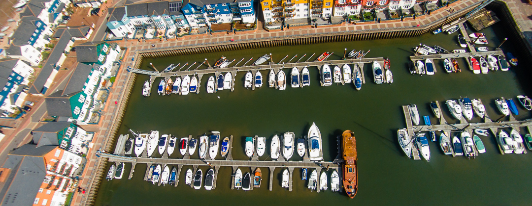
Planning Permission
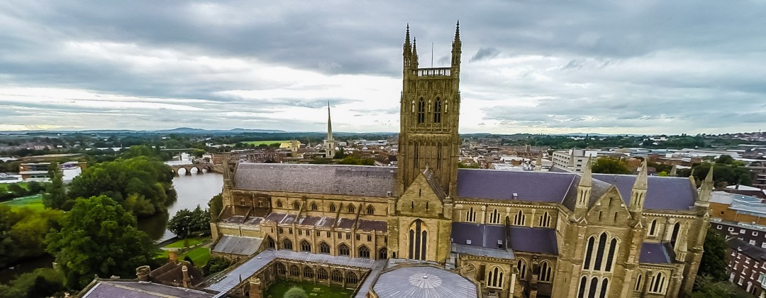
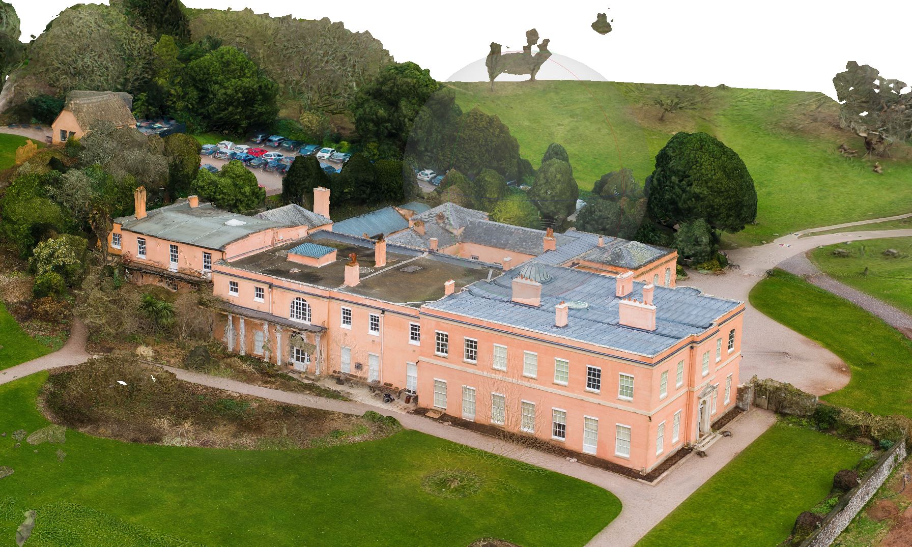
National Trust Essential Maintenance.
Planning Permission Submission
Photogrammetry for integration into CAD